January to March (Dry and Quiet season)
The weather in the first few months after the short rainy season is generally warm and dry. Away from the high season so
relatively quiet, this is one of our favorite times to climb Kilimanjaro.
April and May (Long rainy Season)
The long rainy season in Tanzania normally occurs in April and May although it has become more unpredictable in recent years.
If you don’t mind the rain you can have the mountain pretty much to yourself. And bear in mind you can nearly always get a good
discount in this period.
June to November (Dry but busy season)
June to early November are the driest months for your Kilimanjaro climb but particularly during August to October this means
the mountain is very busy. The shoulder months of June and July and early November are good compromises if a little rain doesn’t
deter you.
November to Mid-December (Short Rainy Season)
The short rainy season normally starts towards the back end of November and continues for 3-4 weeks. Generally rain is less
persistent than in the main rains and so this is a good time to be on the mountain without the crowds
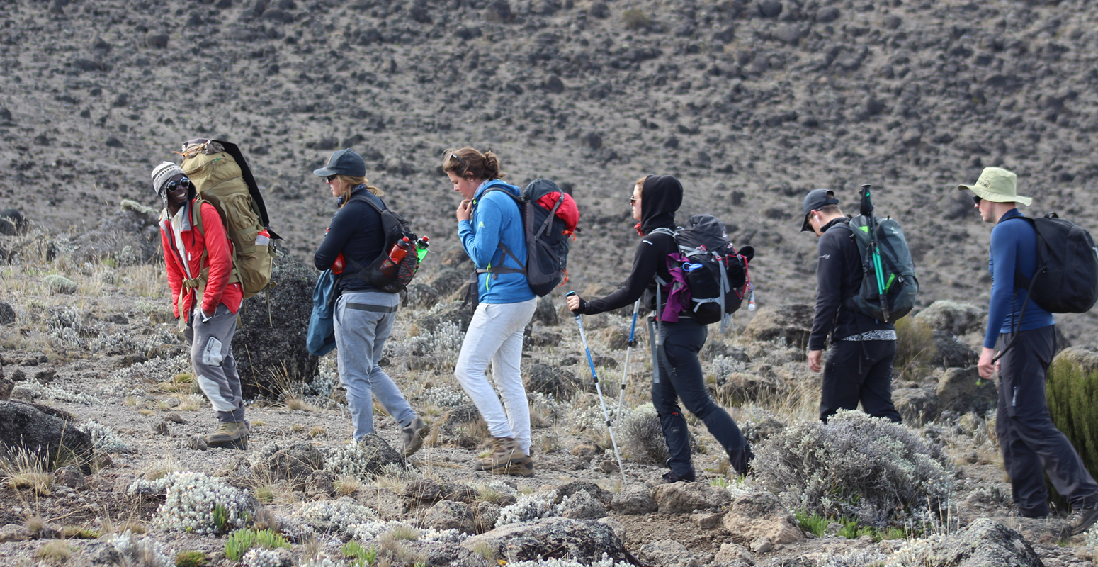
Climbers always say that mountains make their own weather and standing almost 6,000 meters in height, Kilimanjaro certainly
has its own climate zones and the weather, along with the flora and fauna, changes drastically as you ascend the mountain.
These climate zones can be separated into 4 distinct areas. The first and lowest is the rain forest zone which extends from
800 meters up to 3,000 meters. The zone is warm and humid and attracts a fair amount of rain, especially in the wet season!
At 2,800 meters the temperature averages between 12 – 15 degrees Celsius. This zone is where you are most likely to spot animals
including the Blue and Colobus monkeys!
The second zone is known as the Low Alpine Area and extends from 3,000 meters to 4,200 meters. This is a semi-arid grassland
zone with temperatures averaging between 5 and 10 degrees Celsius. Small shrubs and heather cover much of the landscape and the
air is noticeably dyer compared to the humid lower reaches.
The third zone is known as the High Alpine zone. With an arid desert-like landscape, zone three extends from 4,200 meters to
5,000 meters with average temperatures around the freezing point. Temperatures in the day can actually be quite hot whilst at
night the temperature plummets, so remember to bring some warm gear and some sunscreen!
The highest area is known as the Glacial zone and the temperature is usually below freezing with an average of -6 degrees
Celsius. The area is often covered in snow and the high winds at this altitude make the temperature feel far lower than it is.
Glacial silt cover the upper slopes and a number of huge glaciers can be seen from the crater rim of Kilimanjaro. At this height
your body is getting half the oxygen it was at ground level, so don’t hang around!
Please remember that cold weather effects your body more at higher altitudes as your body is having to counter the effects of
altitude in regards to oxygen levels. Your body extremities (feet, hands, nose etc.) will feel it most and -6 degrees could feel
like -20 degree!
And remember that if it is raining at the bottom of the mountain it is almost certainly snowing at its summit.
Underwear(4-5 pairs of sports underwear.),Base Layer,Trekking Shirts(4 x short sleeve shirts and 2 x long sleeve shirts.),
Trekking Trousers(1-2 x pairs of hiking trousers),Insulation Layer,Core Jacket or Third Layer,Warm Jacket,Insulated Trousers,
Hard Shell and Rain Gear,Kilimanjaro Sleeping Bags,Hat with Neck Cover,Beanie or Headband,Neck Warmer,Headlamp,Sunglasses
Hiking Boots,Trekking Socks,Thermal Socks,Gaiters,Inner Gloves,Outer Gloves / Mitts,Trekking Poles,Duffle Bag with Raincover,
Water Bottle,Hydration Bladder,Water Purification Tablets,Wet Wipes,Sweat Resistant Sunscreen.
Altitude sickness, also called Acute Mountain Sickness (AMS), hypobaropathy and soroche, is an illness caused
by exposure to the low air pressure, especially low partial pressure of oxygen, which many climbers experience at high altitudes.
AMS is caused by exerting yourself at high altitudes, especially if you have not been properly acclimatised. It is most common at
altitudes above 2400 metres. Kilimanjaro’s peak is nearly 6000 metres above sea level. At this height, the air pressure (and the amount
of oxygen it contains) is less than half that at sea level, and has been said to be comparable to ‘working with only one lung’.
AMS can be serious, especially as it can be debilitating, and it generally occurs far from places where medical treatment can be
easily administered.
Not everyone suffers from AMS, of course, and it is very difficult to predict who is or is not vulnerable to it. Generally speaking,
a fit person is less vulnerable than an unfit person, because their cardiovascular system can operate at low pressures longer without
as much strain. Even so, anyone can be vulnerable at altitudes above 3500 metres, no matter their fitness level, if they have not spent
some time getting used to the low atmospheric pressures first.
Undoubtedly the best way to see how you are going to react to high altitude is to go high and try to do some exercises. For most of us
that isn’t an option so a good alternative is to have a session with a specialist altitude training company that have equipment that
simulates the effects of altitude. In the UK the leading specialist is The Altitude Centre.
Avoiding AMS
- >>Walk high, sleep low. It is best to gradually climb higher each day, then descend lower to sleep. This lets you gradually become
accustomed to lower pressures, and then recover somewhat overnight.
- >>Slow and steady. You need to keep your respiration rate low enough to maintain a normal conversation. If you are panting or breathing
hard, you must slow down. Overworking your heart and lungs substantially increases your chance of becoming ill.
- >>Drink much more water than you think you need. Proper hydration helps acclimatisation dramatically. You need to drink at least
three litres each day. As dehydration presents many of the same symptoms as altitude sickness, your chances of being allowed to continue
are best if you stay hydrated.
- >>The general consensus of the research is that Diamox is helpful in avoiding AMS. We use it when climbing Kilimanjaro. We recommend
you google Diamox and its effects yourself. It is a prescription drug, and you should consult with your doctor before taking it.
1.Low oxygen saturation
At high altitudes and low pressures, each breath takes in less oxygen, and transfers less to the blood. Blood with low levels of
oxygen is said to be poorly saturated. Having slightly low oxygen saturation can lead to fatigue and feeling breathless. Severe low
oxygen saturation can cause impaired mental functions, reduce your decision making ability, and have other dangerous effects. All our
guides have pulse-oxymeters to check your oxygen saturation daily.
2.Cerebral oedema
Severely reduced air pressure can cause fluid to collect in the sinuses and air cavities in the skull. Initially it presents as a
mild headache, but can eventually cause disorientation, coma and even death. Cerebral oedema can present very suddenly, and is an
extremely serious medical issue
Pulmonary oedema
This is caused by reduced air pressure in the lungs. Fluid sometimes begins to seep from the lung tissues into the air spaces of
the lungs, making breathing even more difficult. This often presents like pneumonia, and is most likely to occur during sleep.
AMS does not present as a slow, gradual worsening of lesser altitude-related symptoms like breathlessness or headache. It is in fact
generally a rapid, dramatic onset of symptoms that can render a person unable to walk or take care of themselves at all.
Our guides are trained to recognise AMS and apply the appropriate first aid. They will monitor your blood oxygen saturation and evaluate
your overall acclimatisation, but it is vital that you monitor and report your condition accurately, for everyone’s safety.
If our guides believe you may be in poor health or that allowing you to continue the climb may be dangerous, they will require you to begin
your descent immediately. If that decision is made, it will be according to this protocol:
>>Measuring your oxygen saturation
If it is below 80%, then you will be required to submit to another test every half hour, for the next two hours. If your saturation does not
rise to at least 75%, you will be required to descend immediately. If your saturation is at least 75%, you will be allowed to continue subject
to close monitoring. If your condition worsens you must notify your guide immediately, and begin the descent.
>>Evaluation on the Lake Louise Scale
If your score is between 6 and 8 then the guide will consider whether you can continue based on your score, oxygen saturation levels,
pulse rate and overall well-being. If you are allowed to continue, you will be monitored closely for the duration of the ascent. If your
condition worsens you must notify your guide immediately, and begin the descent. If your Lake Louise Score is higher than 8, you must descend
immediately.